
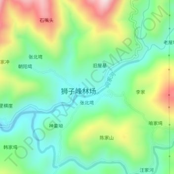
阎家河 topographic map
Interactive map
Click on the map to display elevation.
About this map
Name: 阎家河 topographic map, elevation, terrain.
Location: 阎家河, 桥上塆, 麻城市, 黄冈市, 湖北省, 中国 (31.34650 115.30353 31.35460 115.32243)
Average elevation: 1,033 ft
Minimum elevation: 535 ft
Maximum elevation: 1,978 ft