
La Riviera topographic map
Interactive map
Click on the map to display elevation.
About this map
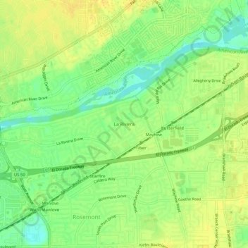
Name: La Riviera topographic map, elevation, terrain.
Location: La Riviera, Sacramento County, California, 95827, USA (38.54685 -121.37690 38.58685 -121.33690)
Average elevation: 62 ft
Minimum elevation: 16 ft
Maximum elevation: 92 ft