
Corapeake topographic map
Interactive map
Click on the map to display elevation.
About this map
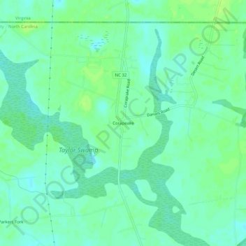
Name: Corapeake topographic map, elevation, terrain.
Average elevation: 49 ft
Minimum elevation: 30 ft
Maximum elevation: 66 ft
Other topographic maps
Click on a map to view its topography, its elevation and its terrain.
Hobbsville
United States > North Carolina > Gates County > Hobbsville
Hobbsville, Gates County, North Carolina, United States
Average elevation: 43 ft