
Schweinheim topographic map
Interactive map
Click on the map to display elevation.
About this map
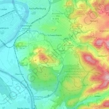
Name: Schweinheim topographic map, elevation, terrain.
Location: Schweinheim, Aschaffenburg, Bavière, 63743, Allemagne (49.92598 9.11932 49.96835 9.21801)
Average elevation: 604 ft
Minimum elevation: 341 ft
Maximum elevation: 1,175 ft