
Parque Nacional Natural Tatamá topographic map
Interactive map
Click on the map to display elevation.
About this map
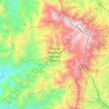
Name: Parque Nacional Natural Tatamá topographic map, elevation, terrain.
Average elevation: 5,866 ft
Minimum elevation: 696 ft
Maximum elevation: 13,383 ft