
Ramree Township topographic map
Interactive map
Click on the map to display elevation.
About this map
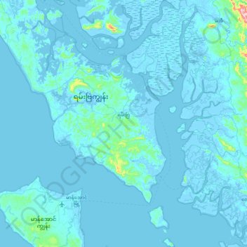
Name: Ramree Township topographic map, elevation, terrain.
Location: Ramree Township, Kyaukpyu District, Rakhine, Myanmar (18.72609 93.65759 19.40099 94.07377)
Average elevation: 43 ft
Minimum elevation: -20 ft
Maximum elevation: 1,670 ft