
Illa de Buda topographic map
Interactive map
Click on the map to display elevation.
About this map
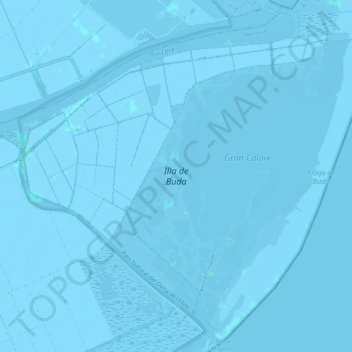
Name: Illa de Buda topographic map, elevation, terrain.
Average elevation: -3 ft
Minimum elevation: -20 ft
Maximum elevation: 10 ft
Other topographic maps
Click on a map to view its topography, its elevation and its terrain.
Platja de l'Alfacada
España > Cataluña > Montsiá > Sant Jaume d'Enveja
Platja de l'Alfacada, Sant Jaume d'Enveja, Montsiá, Tarragona, Cataluña, 43877, España
Average elevation: -3 ft