
mezquital topographic map
Interactive map
Click on the map to display elevation.
About this map
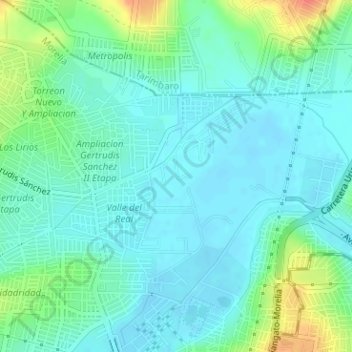
Name: mezquital topographic map, elevation, terrain.
Location: mezquital, Morelia, Michoacán de Ocampo, 58880, México (19.73442 -101.20824 19.74814 -101.17657)
Average elevation: 6,217 ft
Minimum elevation: 6,175 ft
Maximum elevation: 6,335 ft