Geolocate

Pine Flat topographic map

Click on the map to display elevation.

About this map
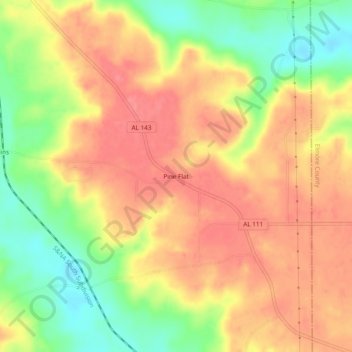
Name: Pine Flat topographic map, elevation, terrain.

Location: Pine Flat, Autauga County, Alabama, 36022:36051, United States (32.63430 -86.45109 32.67430 -86.41109)

Average elevation: 449 ft

Minimum elevation: 312 ft

Maximum elevation: 538 ft

Autauga County trails, hiking, mountain biking, running and outdoor activities

Gear up for your next adventure:

🏕️Tent Footprint - Protect your tent base from wear
🛠️Outdoor Gear Repair Kit - Essential tools to fix gear on the trail
🥾Women's Hiking Boots - Top-rated trail boots with ankle support and superior grip
🪶Camp Gear Gift Set - Perfect gift bundle for outdoor fans
🦶Hiking Gaiters - Keep debris and water out of your boots

As an Amazon Associate, this site earns from qualifying purchases at no extra cost to you.