
Munkfors kommun topographic map
Interactive map
Click on the map to display elevation.
About this map
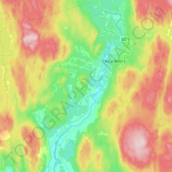
Name: Munkfors kommun topographic map, elevation, terrain.
Location: Munkfors kommun, Provinz Värmland, Schweden (59.74477 13.35925 59.88231 13.64040)
Average elevation: 594 ft
Minimum elevation: 200 ft
Maximum elevation: 1,178 ft