
Al ‘Aţrūn topographic map
Interactive map
Click on the map to display elevation.
About this map
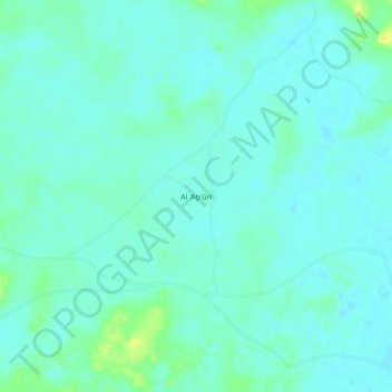
Name: Al ‘Aţrūn topographic map, elevation, terrain.
Location: Al ‘Aţrūn, Mellit, Nord-Darfur, Sudan (18.16333 26.58000 18.20333 26.62000)
Average elevation: 1,686 ft
Minimum elevation: 1,667 ft
Maximum elevation: 1,739 ft