
Nunchía topographic map
Interactive map
Click on the map to display elevation.
About this map
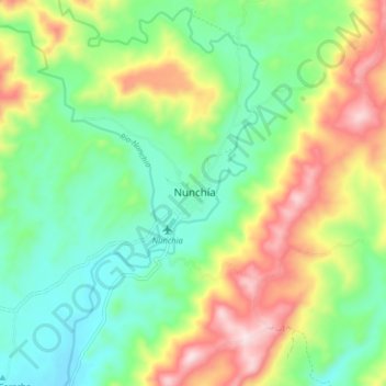
Name: Nunchía topographic map, elevation, terrain.
Location: Nunchía, Casanare, Colombia (5.59783 -72.23494 5.67783 -72.15494)
Average elevation: 1,604 ft
Minimum elevation: 1,079 ft
Maximum elevation: 2,530 ft