
Puerto Carreño topographic map
Interactive map
Click on the map to display elevation.
About this map
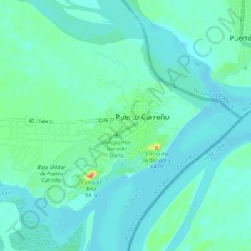
Name: Puerto Carreño topographic map, elevation, terrain.
Location: Puerto Carreño, Vichada, 990001-990017, Colombia (6.14797 -67.52947 6.22797 -67.44947)
Average elevation: 151 ft
Minimum elevation: 115 ft
Maximum elevation: 335 ft