
Petit lac Preston topographic map
Interactive map
Click on the map to display elevation.
About this map
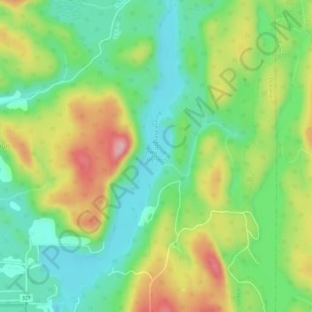
Name: Petit lac Preston topographic map, elevation, terrain.
Average elevation: 866 ft
Minimum elevation: 650 ft
Maximum elevation: 1,207 ft
Other topographic maps
Click on a map to view its topography, its elevation and its terrain.
Lac Gagnon
Canada > Québec > Papineau > Duhamel
Lac Gagnon, Duhamel, Papineau, Outaouais, Québec, Canada
Average elevation: 876 ft
Lac Saint-Ange
Canada > Québec > Papineau > Duhamel
Lac Saint-Ange, Duhamel, Papineau, Outaouais, Québec, Canada
Average elevation: 912 ft