
Pariang topographic map
Interactive map
Click on the map to display elevation.
About this map
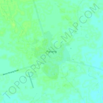
Name: Pariang topographic map, elevation, terrain.
Location: Pariang, Ruweng Administrative Area, South Sudan (9.87903 29.94167 9.95903 30.02167)
Average elevation: 1,322 ft
Minimum elevation: 1,309 ft
Maximum elevation: 1,335 ft