
花园乡 topographic map
Interactive map
Click on the map to display elevation.
About this map
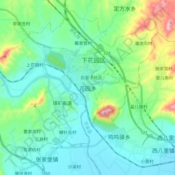
Name: 花园乡 topographic map, elevation, terrain.
Location: 花园乡, 下花园区, 张家口市, 河北省, 075100, 中国 (40.43696 115.20130 40.52974 115.33929)
Average elevation: 2,093 ft
Minimum elevation: 1,673 ft
Maximum elevation: 3,711 ft
Other topographic maps
Click on a map to view its topography, its elevation and its terrain.