
Tompkins topographic map
Interactive map
Click on the map to display elevation.
About this map
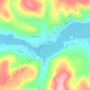
Name: Tompkins topographic map, elevation, terrain.
Location: Tompkins, Tioga County, Pennsylvania, 16940, United States (41.95674 -77.21081 41.99674 -77.17081)
Average elevation: 1,348 ft
Minimum elevation: 1,073 ft
Maximum elevation: 1,788 ft