
Meoqui topographic map
Interactive map
Click on the map to display elevation.
About this map
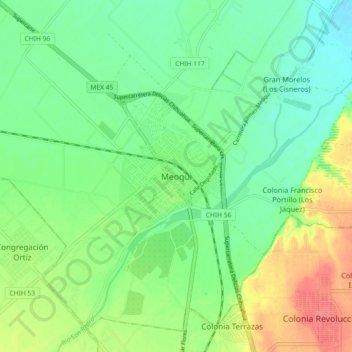
Name: Meoqui topographic map, elevation, terrain.
Location: Meoqui, Chihuahua, 33130, México (28.23135 -105.52051 28.31135 -105.44051)
Average elevation: 3,776 ft
Minimum elevation: 3,707 ft
Maximum elevation: 3,894 ft