Puerto de Pajares topographic map
Interactive map
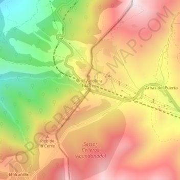
Click on the map to display elevation.
About this map
Name: Puerto de Pajares topographic map, elevation, terrain.
Average elevation: 4,465 ft
Minimum elevation: 2,979 ft
Maximum elevation: 5,620 ft

Click on the map to display elevation.
Name: Puerto de Pajares topographic map, elevation, terrain.
Average elevation: 4,465 ft
Minimum elevation: 2,979 ft
Maximum elevation: 5,620 ft