
Puerto Nariño topographic map
Interactive map
Click on the map to display elevation.
About this map
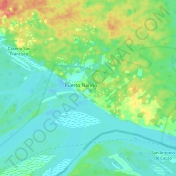
Name: Puerto Nariño topographic map, elevation, terrain.
Location: Puerto Nariño, Amazonas, Colombia (-3.82111 -70.40075 -3.74111 -70.32075)
Average elevation: 256 ft
Minimum elevation: 200 ft
Maximum elevation: 384 ft