
Naka Ward topographic map
Interactive map
Click on the map to display elevation.
About this map
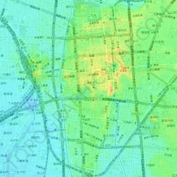
Name: Naka Ward topographic map, elevation, terrain.
Location: Naka Ward, Nagoya, Aichi Prefecture, Japan (35.14254 136.89200 35.18727 136.93035)
Average elevation: 39 ft
Minimum elevation: -23 ft
Maximum elevation: 125 ft
Other topographic maps
Click on a map to view its topography, its elevation and its terrain.