Lac Canard topographic map
Interactive map
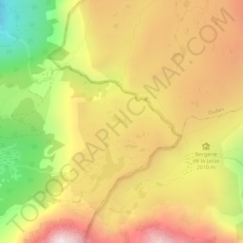
Click on the map to display elevation.
About this map
Name: Lac Canard topographic map, elevation, terrain.
Average elevation: 6,572 ft
Minimum elevation: 4,514 ft
Maximum elevation: 8,281 ft

Click on the map to display elevation.
Name: Lac Canard topographic map, elevation, terrain.
Average elevation: 6,572 ft
Minimum elevation: 4,514 ft
Maximum elevation: 8,281 ft