
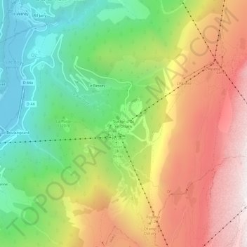
Station d'Oz en Oisans topographic map
Interactive map
Click on the map to display elevation.
About this map
Name: Station d'Oz en Oisans topographic map, elevation, terrain.
Average elevation: 5,105 ft
Minimum elevation: 2,451 ft
Maximum elevation: 8,241 ft