
Boudraâ topographic map
Interactive map
Click on the map to display elevation.
About this map
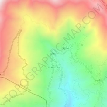
Name: Boudraâ topographic map, elevation, terrain.
Location: Boudraâ, Beni Melikeche, Daïra Tazmalt, Béjaïa, 06039, Algérie (36.43191 4.37711 36.47191 4.41711)
Average elevation: 3,714 ft
Minimum elevation: 2,008 ft
Maximum elevation: 5,653 ft