
帕普达村 topographic map
Interactive map
Click on the map to display elevation.
About this map
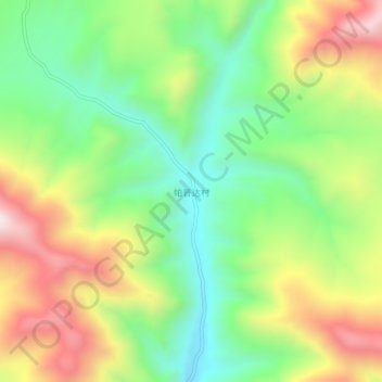
Name: 帕普达村 topographic map, elevation, terrain.
Location: 帕普达村, 拉西镇, 巴青县, 那曲市, 西藏自治区, 中国 (31.98366 93.94500 32.02366 93.98500)
Average elevation: 14,931 ft
Minimum elevation: 13,947 ft
Maximum elevation: 16,332 ft