
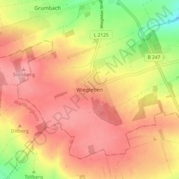
Wiegleben topographic map
Interactive map
Click on the map to display elevation.
About this map
Name: Wiegleben topographic map, elevation, terrain.
Average elevation: 1,060 ft
Minimum elevation: 823 ft
Maximum elevation: 1,204 ft
Other topographic maps
Click on a map to view its topography, its elevation and its terrain.
Großwelsbach
Deutschland > Thüringen > Unstrut-Hainich-Kreis > Bad Langensalza
Großwelsbach, Bad Langensalza, Unstrut-Hainich-Kreis, Thüringen, 99947, Deutschland
Average elevation: 692 ft
Merxleben
Deutschland > Thüringen > Unstrut-Hainich-Kreis > Bad Langensalza
Merxleben, Bad Langensalza, Unstrut-Hainich-Kreis, Thüringen, 99947, Deutschland
Average elevation: 636 ft
Thamsbrück
Deutschland > Thüringen > Unstrut-Hainich-Kreis > Bad Langensalza
Thamsbrück, Bad Langensalza, Unstrut-Hainich-Kreis, Thüringen, 99947, Deutschland
Average elevation: 620 ft