
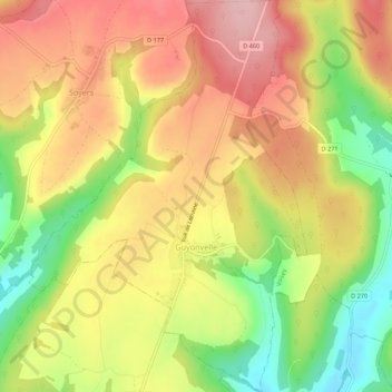
Guyonvelle topographic map
Interactive map
Click on the map to display elevation.
About this map
Name: Guyonvelle topographic map, elevation, terrain.
Average elevation: 1,122 ft
Minimum elevation: 801 ft
Maximum elevation: 1,381 ft
Other topographic maps
Click on a map to view its topography, its elevation and its terrain.
Anrosey
Frankreich > Großer Osten > Haute-Marne > Anrosey
Anrosey, Langres, Haute-Marne, Großer Osten, Metropolitanes Frankreich, 52500, Frankreich
Average elevation: 974 ft