
Walnut Point topographic map
Interactive map
Click on the map to display elevation.
About this map
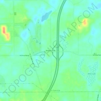
Name: Walnut Point topographic map, elevation, terrain.
Location: Walnut Point, Calhoun County, Michigan, USA (42.33032 -85.00526 42.37032 -84.96526)
Average elevation: 942 ft
Minimum elevation: 896 ft
Maximum elevation: 1,050 ft