La Font topographic map
Interactive map
Click on the map to display elevation.
About this map
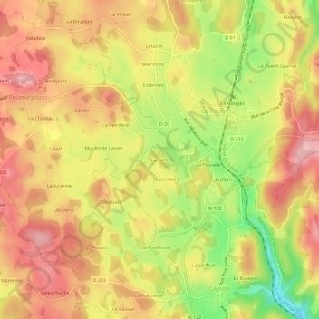
Name: La Font topographic map, elevation, terrain.
Average elevation: 2,001 ft
Minimum elevation: 1,680 ft
Maximum elevation: 2,218 ft

Click on the map to display elevation.
Name: La Font topographic map, elevation, terrain.
Average elevation: 2,001 ft
Minimum elevation: 1,680 ft
Maximum elevation: 2,218 ft