
Saint Bride's Wentlooge topographic map
Interactive map
Click on the map to display elevation.
About this map
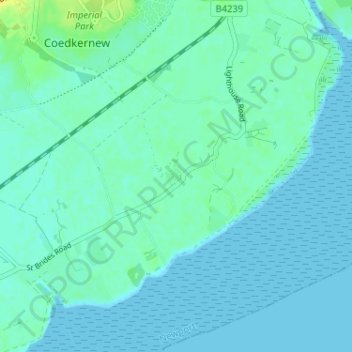
Name: Saint Bride's Wentlooge topographic map, elevation, terrain.
Average elevation: 13 ft
Minimum elevation: 0 ft
Maximum elevation: 72 ft
Other topographic maps
Click on a map to view its topography, its elevation and its terrain.
Beechwood
United Kingdom > Wales > Newport
Beechwood, Newport, Wales, NP, United Kingdom
Average elevation: 92 ft
Allt-Yr-Yn
United Kingdom > Wales > Newport
Allt-Yr-Yn, Newport, Wales, NP, United Kingdom
Average elevation: 128 ft