
Andur topographic map
Interactive map
Click on the map to display elevation.
About this map
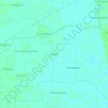
Name: Andur topographic map, elevation, terrain.
Average elevation: 13 ft
Minimum elevation: 3 ft
Maximum elevation: 23 ft
Other topographic maps
Click on a map to view its topography, its elevation and its terrain.
Manjolai
India > Tamil Nadu > Tharangambadi
Manjolai, Tharangambadi, Mayiladuthurai District, Tamil Nadu, 609301, India
Average elevation: 20 ft