
Mghagha topographic map
Interactive map
Click on the map to display elevation.
About this map
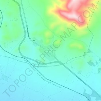
Name: Mghagha topographic map, elevation, terrain.
Location: Mghagha, Souani, Daïra Bab El Assa, Tlemcen, Algérie (34.86705 -1.92637 34.90705 -1.88637)
Average elevation: 1,680 ft
Minimum elevation: 1,437 ft
Maximum elevation: 2,520 ft