
Hirwaun topographic map
Interactive map
Click on the map to display elevation.
About this map
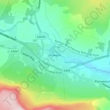
Name: Hirwaun topographic map, elevation, terrain.
Location: Hirwaun, Rhondda Cynon Taf, Wales, CF44, United Kingdom (51.72033 -3.53263 51.76033 -3.49263)
Average elevation: 840 ft
Minimum elevation: 538 ft
Maximum elevation: 1,677 ft