
白腊 topographic map
Interactive map
Click on the map to display elevation.
About this map
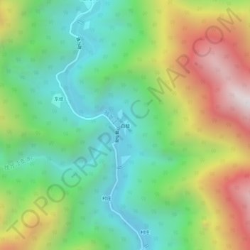
Name: 白腊 topographic map, elevation, terrain.
Location: 白腊, 独龙江乡, 贡山独龙族怒族自治县, 怒江傈僳族自治州, 云南省, 中国 (27.99586 98.30364 28.03586 98.34364)
Average elevation: 7,283 ft
Minimum elevation: 5,390 ft
Maximum elevation: 10,577 ft