
Ramirás topographic map
Interactive map
Click on the map to display elevation.
About this map
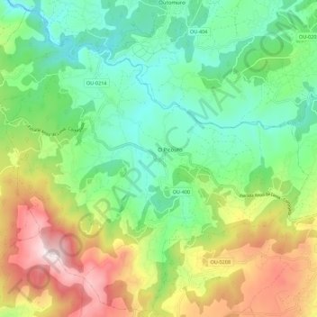
Name: Ramirás topographic map, elevation, terrain.
Location: Ramirás, Terra da Celanova, Ourense, Galicia, Spain (42.14474 -8.08520 42.22383 -7.97463)
Average elevation: 1,588 ft
Minimum elevation: 781 ft
Maximum elevation: 3,071 ft