
Postrasvase Tajo-Segura topographic map
Interactive map
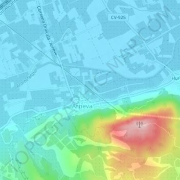
Click on the map to display elevation.
About this map
Name: Postrasvase Tajo-Segura topographic map, elevation, terrain.
Average elevation: 207 ft
Minimum elevation: 62 ft
Maximum elevation: 876 ft
Other topographic maps
Click on a map to view its topography, its elevation and its terrain.
Jardín del Molino de Cox
España > Comunidad Valenciana > La Vega Baja del Segura > Orihuela
Jardín del Molino de Cox, Orihuela, Rabaloche, Orihuela, La Vega Baja del Segura, Alicante, Comunidad Valenciana, 03300, España
Average elevation: 115 ft