
San Andrés Mixquic topographic map
Interactive map
Click on the map to display elevation.
About this map
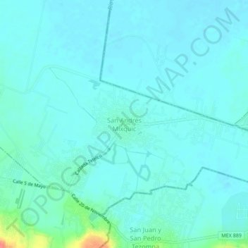
Name: San Andrés Mixquic topographic map, elevation, terrain.
Location: San Andrés Mixquic, Ciudad de México, 13630, México (19.20513 -98.98447 19.24513 -98.94447)
Average elevation: 7,339 ft
Minimum elevation: 7,310 ft
Maximum elevation: 7,523 ft