
Roussieux topographic map
Interactive map
Click on the map to display elevation.
About this map
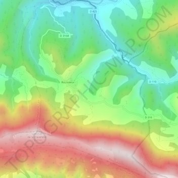
Name: Roussieux topographic map, elevation, terrain.
Average elevation: 2,969 ft
Minimum elevation: 1,903 ft
Maximum elevation: 4,413 ft
Dictionnaire topographique du département de la Drôme.
Other topographic maps
Click on a map to view its topography, its elevation and its terrain.
Roussieux
France > Auvergne-Rhône-Alpes > Drôme > Roussieux
Roussieux, Nyons, Drôme, Auvergne-Rhône-Alpes, France métropolitaine, 26510, France
Average elevation: 2,930 ft