
Teregali topographic map
Interactive map
Click on the map to display elevation.
About this map
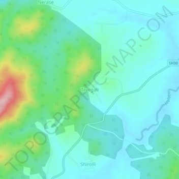
Name: Teregali topographic map, elevation, terrain.
Location: Teregali, Khanapura taluku, Belgaum district, Karnataka, India (15.56005 74.41904 15.60005 74.45904)
Average elevation: 2,280 ft
Minimum elevation: 2,149 ft
Maximum elevation: 2,762 ft