
Río Iregua topographic map
Interactive map
Click on the map to display elevation.
About this map
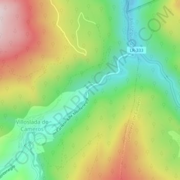
Name: Río Iregua topographic map, elevation, terrain.
Location: Río Iregua, Villoslada de Cameros, La Rioja, 26125, España (42.11871 -2.66192 42.11946 -2.66083)
Average elevation: 3,819 ft
Minimum elevation: 3,169 ft
Maximum elevation: 4,705 ft