
翼城县 topographic map
Interactive map
Click on the map to display elevation.
About this map
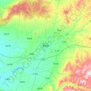
Name: 翼城县 topographic map, elevation, terrain.
Location: 翼城县, 临汾市, 山西省, 中国 (35.57397 111.54760 35.89397 111.86760)
Average elevation: 2,572 ft
Minimum elevation: 1,444 ft
Maximum elevation: 5,207 ft