
Gotarrendura topographic map
Interactive map
Click on the map to display elevation.
About this map
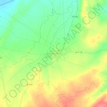
Name: Gotarrendura topographic map, elevation, terrain.
Location: Gotarrendura, Ávila, Castille-et-León, 05163, Espagne (40.80645 -4.76095 40.84645 -4.72095)
Average elevation: 3,058 ft
Minimum elevation: 2,933 ft
Maximum elevation: 3,196 ft