
Lost City topographic map
Interactive map
Click on the map to display elevation.
About this map
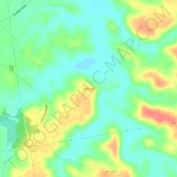
Name: Lost City topographic map, elevation, terrain.
Location: Lost City, Logan County, Kentucky, United States (36.95699 -86.92500 36.99699 -86.88500)
Average elevation: 489 ft
Minimum elevation: 407 ft
Maximum elevation: 627 ft