
Puerto Leguízamo topographic map
Interactive map
Click on the map to display elevation.
About this map
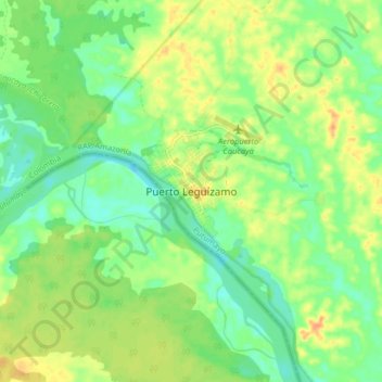
Name: Puerto Leguízamo topographic map, elevation, terrain.
Location: Puerto Leguízamo, Putumayo, Colombia (-0.23499 -74.82070 -0.15499 -74.74070)
Average elevation: 597 ft
Minimum elevation: 541 ft
Maximum elevation: 666 ft