
Crater of Diamonds State Park topographic map
Interactive map
Click on the map to display elevation.
About this map
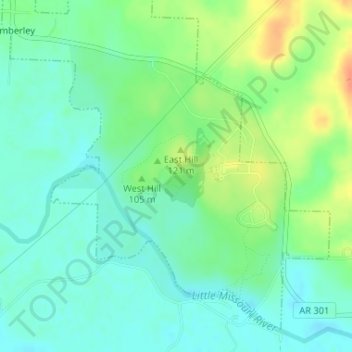
Name: Crater of Diamonds State Park topographic map, elevation, terrain.
Average elevation: 348 ft
Minimum elevation: 302 ft
Maximum elevation: 433 ft