
Mont Maunoir topographic map
Interactive map
Click on the map to display elevation.
About this map
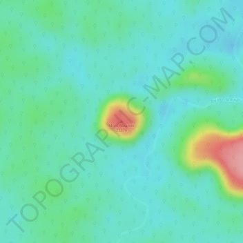
Name: Mont Maunoir topographic map, elevation, terrain.
Location: Mont Maunoir, Camopi, Cayenne, Guyane, 97330, France (2.58987 -52.76394 2.58997 -52.76384)
Average elevation: 446 ft
Minimum elevation: 344 ft
Maximum elevation: 751 ft