
Presandães topographic map
Interactive map
Click on the map to display elevation.
About this map
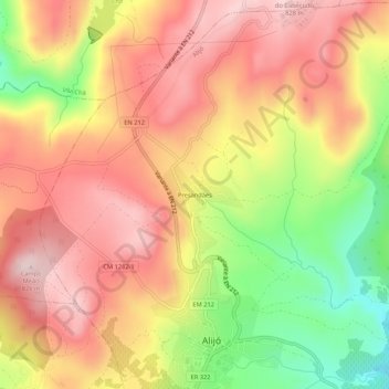
Name: Presandães topographic map, elevation, terrain.
Location: Presandães, Alijó, Vila Real, 5070-124, Portugal (41.27175 -7.49767 41.31175 -7.45767)
Average elevation: 2,244 ft
Minimum elevation: 1,585 ft
Maximum elevation: 2,707 ft