
Fiskebøl topographic map
Interactive map
Click on the map to display elevation.
About this map
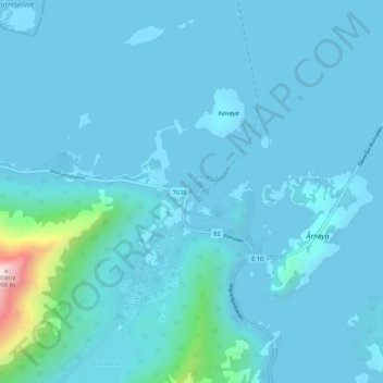
Name: Fiskebøl topographic map, elevation, terrain.
Location: Fiskebøl, Hadsel, Nordland, Norvège (68.41097 14.80208 68.45097 14.84208)
Average elevation: 187 ft
Minimum elevation: 0 ft
Maximum elevation: 2,956 ft