
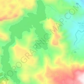
Laguna Brava - Yolnhajab’ topographic map
Interactive map
Click on the map to display elevation.
About this map
Name: Laguna Brava - Yolnhajab’ topographic map, elevation, terrain.
Location: Laguna Brava - Yolnhajab’, Nentón, Huehuetenango, Guatemala (16.02439 -91.58243 16.07027 -91.55505)
Average elevation: 4,068 ft
Minimum elevation: 3,005 ft
Maximum elevation: 5,581 ft