
Sekyere Central District topographic map
Interactive map
Click on the map to display elevation.
About this map
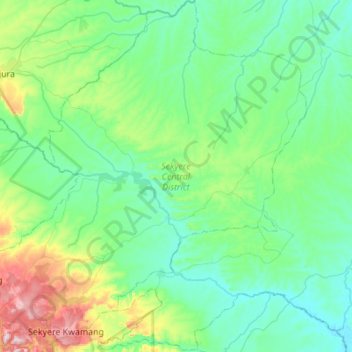
Name: Sekyere Central District topographic map, elevation, terrain.
Location: Sekyere Central District, Ashanti Region, Ghana (6.94369 -1.42629 7.48921 -0.89547)
Average elevation: 558 ft
Minimum elevation: 269 ft
Maximum elevation: 1,896 ft